
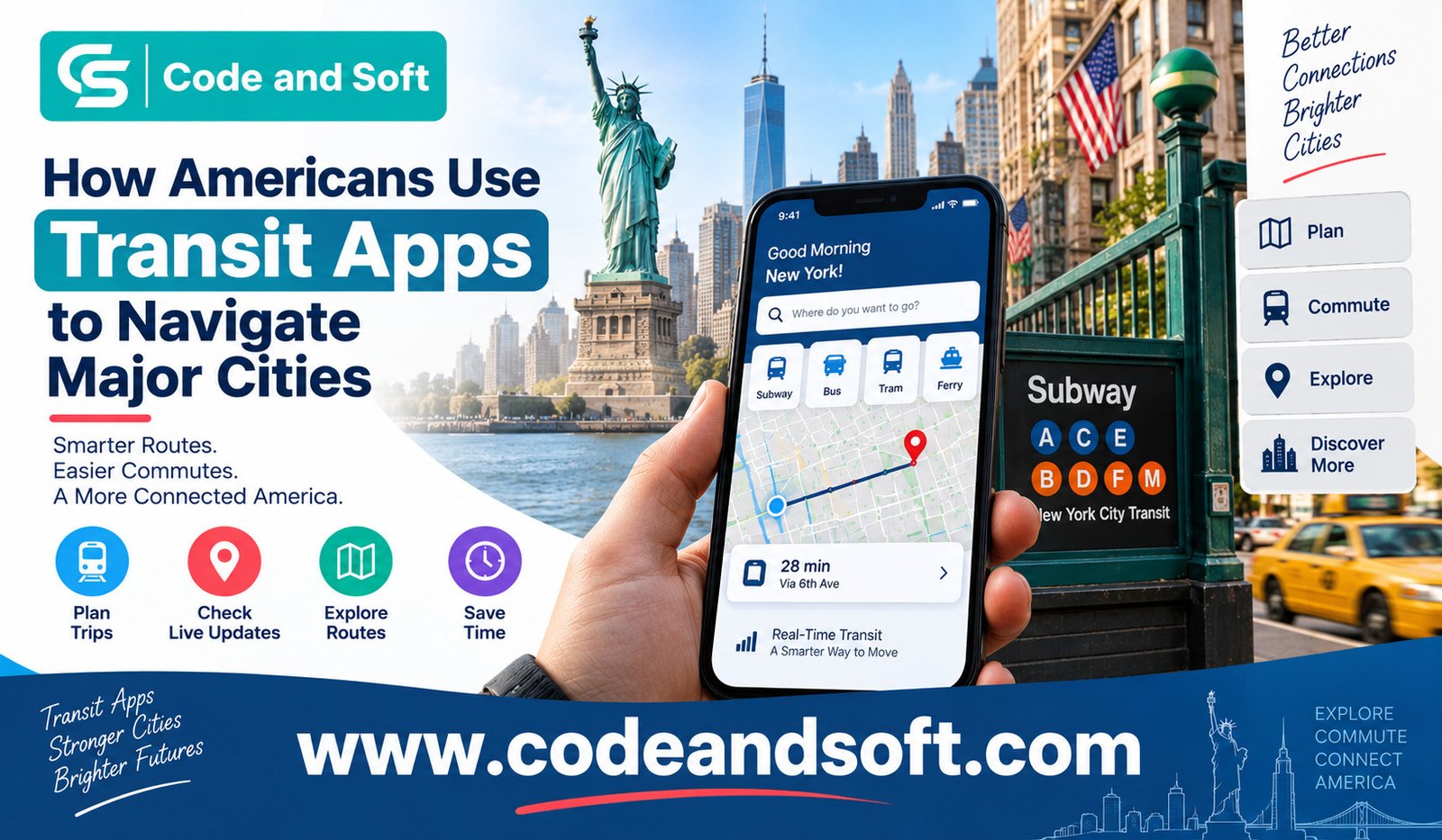

When you are travelling through a major American city, getting from one place to another can be surprisingly complicated. You may have several transportation choices, including buses, subways, commuter trains, light rail, ferries, walking routes, and rideshare services. Add traffic, delays, unfamiliar stations, and changing schedules, and a simple journey can quickly become stressful.
This is where transit apps have become useful for everyday travellers and commuters. Instead of studying a paper map or trying to understand several transportation websites, you can use your smartphone to check routes, compare travel times, find nearby stops, and adjust your journey when something changes.
The growing Public Transport Apps Use In America reflects a broader shift toward convenient, mobile-first travel. Whether you are commuting to work in New York, visiting Chicago for a weekend, exploring San Francisco, or navigating Washington, D.C., transit apps can help you make better decisions before and during your journey.
Why Americans Rely on Transit Apps
Public transportation in the United States varies considerably from city to city. One metropolitan area may have an extensive subway network, while another may depend more heavily on buses and commuter rail.
If you are unfamiliar with a city’s transportation system, knowing which service to use can be difficult. Transit apps bring much of this information together in one place.
You can enter your destination and receive route suggestions based on available transportation options. Depending on the app and city, you may also see departure times, walking directions, transfers, service alerts, and estimated journey durations.
This makes transit apps useful for both residents and visitors. You do not necessarily need to memorize routes or understand the entire transportation network. Instead, you can follow step-by-step instructions as you travel.
Transit App: A Practical Companion for Daily Travel
Transit is one of the well-known apps people use to navigate public transportation.
The app is designed around the idea of helping you understand what is happening around you right now. You can look for nearby transportation options, check routes, and see upcoming departures in supported cities.
For example, if you are leaving a restaurant and want to reach a hotel across town, you can use Transit to identify nearby stops and compare available routes. Rather than guessing whether you should walk several blocks to another station, the app can help you see your options before you start walking.
Transit can be particularly convenient when you are moving around a city you do not know well. Having route information available on your phone can make public transportation feel less intimidating.
Moovit for Comparing Different Transit Options
Moovit is another popular option for planning journeys.
Moovit focuses heavily on public transportation and can help you discover routes involving buses, trains, subways, and other supported services.
When you use the app, you can search for a destination and review possible ways to get there. This can be useful when you are not simply looking for the fastest route but want to understand your alternatives.
Imagine you are travelling across a large city during a busy afternoon. You may have a bus route that requires fewer transfers but takes longer, or a train route that is faster but involves more walking. Seeing these choices together allows you to decide what works best for your schedule.
For visitors, that flexibility can be especially helpful because the “best” route is not always the one with the shortest estimated travel time.
Google Maps and Apple Maps Keep Transit Information Close
You may already use Google Maps or Apple Maps for driving and walking directions, but both can also be useful for public transportation in supported locations.
The advantage is simple: you do not necessarily need a separate transit application if your everyday navigation app already provides the information you need.
You can search for a destination, select the public transportation option, and review suggested routes. Depending on the city and available data, you may receive information about buses, trains, walking connections, transfers, and expected travel times.
This can be particularly convenient when you are travelling for the first time. You can use the same familiar mapping application to move between different transportation modes.
For example, you might walk from your hotel to a subway station, take a train toward downtown, and then walk from the final station to a museum. A mapping app can help connect these individual parts into one journey.
Citymapper Makes Urban Travel Easier to Understand
Citymapper has also gained attention among people navigating major metropolitan areas.
Citymapper is designed specifically around urban transportation. Rather than treating a city simply as a collection of roads, it helps you think about the different ways you can move through it.
You can compare combinations of walking, public transit, cycling, and other transportation options where available.
This can be useful in cities where several transportation systems overlap. A journey might involve a subway line, a bus connection, and a short walk. Citymapper can help you understand the complete trip instead of making you search for each section separately.
If you are exploring a large city as a tourist, that broader view can save time and reduce uncertainty.
Transit Apps Help You Handle Transfers
One of the biggest challenges of using public transportation is understanding transfers.
You might know which train gets you close to your destination, but you may not know where to change lines or how far you need to walk between platforms.
Transit apps can make these connections easier to follow.
Instead of simply telling you to “take the subway,” an app can break the trip into smaller instructions. You might be told to walk to a particular station, board a specific service, exit at another station, change lines, and continue toward your destination.
That level of guidance is valuable when you are unfamiliar with the system.
It can also help you feel more confident when travelling during busy periods. Rather than constantly checking signs or wondering whether you missed your stop, you can keep the journey instructions available on your phone.
Real-Time Information Can Change Your Travel Decisions
A major benefit of modern transit applications is the ability to provide updated information when data is available.
Public transportation does not always operate exactly according to schedule. A bus can be delayed by traffic. A train can experience a service disruption. A station can become temporarily unavailable.
When you are already on your way somewhere, these changes matter.
Instead of discovering a problem after reaching a station, you may be able to see an alert or updated departure information through your transit app. You can then consider another route.
For example, if your usual train is delayed, you might decide to take a bus for part of the journey. If a connection is no longer practical, you can search for an alternative before wasting additional time.
This is one reason Public Transport Apps Use In America is not limited to trip planning before leaving home. People can use these apps throughout the journey.
Transit Apps Are Useful for Tourists
If you are visiting an American city for the first time, public transportation can be one of the most affordable ways to explore.
However, the unfamiliarity of the network can make you hesitant to use it.
A transit app can reduce that learning curve. You can search for landmarks, restaurants, hotels, airports, attractions, and neighborhoods without knowing the transportation network beforehand.
Suppose you are staying in Manhattan and want to visit another part of New York City. Instead of trying to understand every subway line before your trip, you can enter the destination and follow the recommended route.
The same principle applies when visiting Chicago, Boston, Washington, D.C., San Francisco, Los Angeles, Philadelphia, or other cities with public transportation systems.
Apps Can Help You Combine Different Modes of Transportation
Modern urban travel is not always about choosing between a car and a train.
Your journey might begin with a short walk, continue on a bus, connect to a subway, and finish with another walk. In some cities, you might also combine public transportation with cycling or rideshare services.
Transit apps can help you see these combinations more clearly.
This is important because the most convenient journey may not involve a single mode of transportation. You can compare the complete trip rather than focusing only on the first vehicle you need to take.
For busy commuters, this can make daily travel more predictable. For tourists, it can make exploring a new city feel much easier.
Other Apps Americans May Use
Transit, Moovit, Google Maps, Apple Maps, and Citymapper are not the only tools available.
Depending on where you live or travel, you may also encounter apps connected to individual transportation agencies. Many major cities and regional transit authorities provide their own applications or mobile services for schedules, alerts, fares, tickets, and route information.
Some travellers also use apps such as Waze when comparing public transportation with driving, particularly when traffic conditions could affect the overall journey.
The right choice often depends on your city and your personal travel habits. You may prefer a dedicated transit app for commuting but use a general mapping application when travelling somewhere unfamiliar.
The Future of Public Transportation Navigation
Transit apps are changing the way you think about getting around American cities.
You no longer have to treat a transportation network as something you must completely understand before using it. Instead, your phone can act as a navigation companion that helps you make decisions along the way.
The value is not only convenience. Transit apps can also make public transportation feel more approachable. When you know where to go, when the next service is expected, and where to transfer, you may feel more comfortable choosing a bus or train instead of driving.
For commuters, that can make everyday journeys easier to manage. For visitors, it can make a new city less confusing.
Final Thoughts
The Public Transport Apps Use In America shows how smartphones have become an important part of urban travel. Apps such as Transit, Moovit, Google Maps, Apple Maps, and Citymapper can help you plan routes, understand transfers, check available options, and respond when your journey changes.
You still need to pay attention to official service announcements and local transportation rules, because app information can sometimes change or lag behind events. But as a planning and navigation tool, a good transit app can take much of the guesswork out of travelling through a major American city.
Whether you are commuting every morning or exploring a city for the first time, having reliable transportation information in your pocket can make the journey feel simpler, more flexible, and far less stressful.